














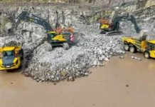










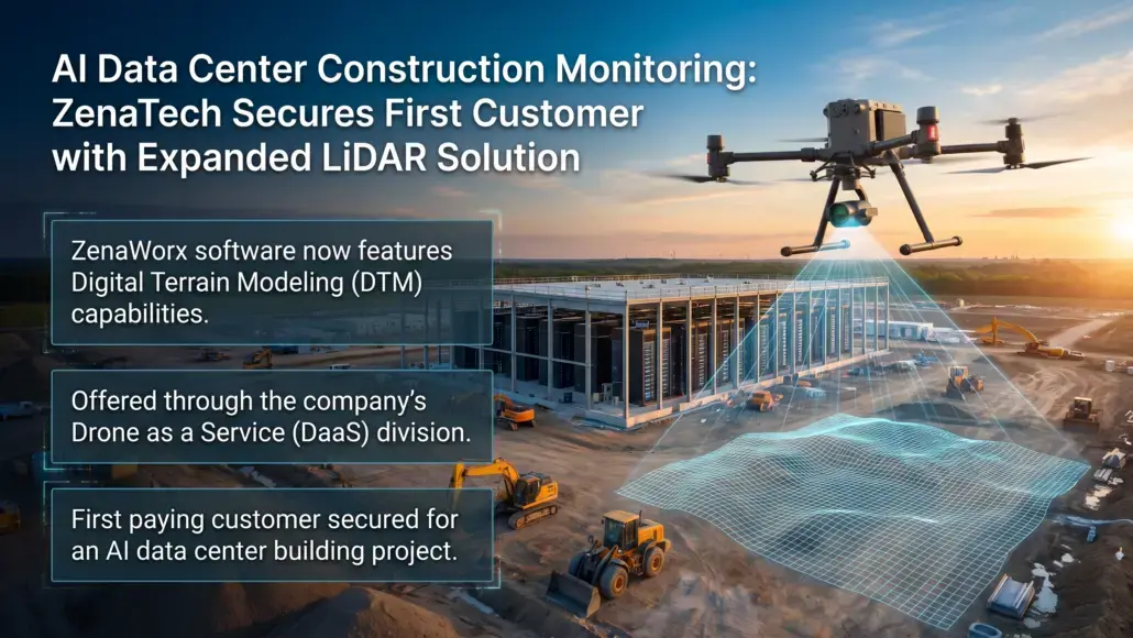


ZenaTech, a technology solution provider specializing in AI (Artificial Intelligence) drone, Drone as a Service (DaaS), enterprise SaaS, and Quantum Computing solutions, is expanding ZenaWorx, its LiDAR (Light Detection and Ranging)-based construction progress monitoring software, with digital terrain modeling (DTM) capabilities. Offered through the company’s Drone as a Service division, the expanded software has also secured its first paying customer for a building project in the AI data center construction market. The DTM functionality is currently at the beta stage and extends ZenaWorx beyond structural 3D progress tracking to support measurement of cut-and-fill volumes, grading accuracy, and drainage. These functions are intended for the earthworks phase of large-scale AI data center campuses and other public works projects that can continue across months and years.
“The AI data center construction market represents one of the largest infrastructure buildouts in a generation, and speed plus data quality and precision translate directly into cost and schedule savings for builders and contractors,” said Shaun Passley, Ph.D., CEO of ZenaTech. “By expanding ZenaWorx into digital terrain modeling, we can offer AI data center developers, as well as public works customers such as landfill operators and municipalities managing drainage and grading projects, a faster and richer view of what is happening on site than traditional survey methods allow. Importantly, this is a recurring revenue opportunity for ZenaTech. Rather than a single site visit, we intend to partner with customers across the full life of a project, from initial earthworks through ongoing monitoring, building a durable, subscription-based relationship with every customer we sign.”
ZenaWorx combines ZenaTech’s Enterprise SaaS expertise with Drone as a Service jobs, processing drone- and LiDAR-captured data and converting it into visual, analytics-driven construction progress insights. Initially introduced as a virtual design and construction (VDC) 3D progress monitoring tool, the software now incorporates digital terrain modeling so project teams can follow cut-and-fill volumes, grading, elevation changes, and structural and site progress. Drone-based digital terrain modeling uses drone-mounted LiDAR or photogrammetric sensors to produce a digital representation of the ground surface, capturing elevation, slope, and grading data that can be compared with engineering plans during construction. VDI is used across construction, mining, agriculture, and public infrastructure to measure cut-and-fill volumes, monitor drainage patterns, and verify compliance with site design.
ZenaTech said the software is intended to support standardized reporting and performance tracking across construction projects, with broader applications expected to be explored over time. According to MarkWide Research, the global digital elevation model market is projected to grow from approximately $3.8 billion in 2026 to $10.04 billion by 2035, a compounded annual growth rate of approximately 11.4%, driven by survey needs in public works and government sectors. ZenaTech’s Drone as a Service division provides on-demand turnkey drone piloting, data capture, and data processing services to commercial, government, and infrastructure customers, allowing them to access aerial data and automation without owning or operating their own drone fleets. The division is being built through an acquisition-led strategy that combines local low-tech service providers into a global network, supporting recurring aerial and data services including surveying, inspections, power washing and construction progress monitoring.