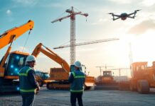
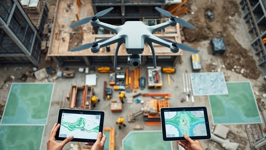
Drone technology over the last few years progressed from being in its novelty stage to becoming the catalyst for transformation in most industries. In the construction industry, drones are demonstrating their potential to unleash revolutionary changes. With aerial intelligence joining forces with ground-based effort, the industry is experiencing a renaissance with technology that is remodelling the way projects are conceptualised, governed, and finished.
Reinventing Site Surveys and Mapping
Weeks of hard labour, massive machinery, and expense-account dollars were previously needed to get sound topographical information. Today, drones can scan out vast areas in a matter of hours, rather than days or weeks, and return with centimetre-level precision. Drone land surveys can reduce field time by up to 80% compared to traditional methods, according to industry reports.
Aerial photographs at high definition and 3D mapping are now produced near real-time so that architects and engineers can model ground, detect elevation change, and detect potential issues weeks or even months before any ground is actually broken. Such greater productivity not only shortens project timelines but also erases time-wasting mistakes that previously steered initial construction project phases awry.
Enhancing Project Monitoring and Reporting of Progress
As building sites become increasingly complex and stakeholder expectations set new records, the necessity for simple, accurate monitoring of progress has never been more critical.
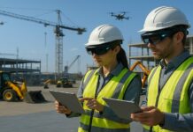
Drone technology is transforming the construction sector, as project managers can take daily or weekly aerial photographs, which enable them to map a visual progress report of development on-site. Electronic records enable real-time sharing among customers, regulatory bodies, and internal parties, which provides for preemptive decision-making and a culture of accountability. New research indicates such live visual reporting assists in reducing the lag in projects by up to 30%, with issues caught and fixed before complications arise. Additionally, the integration of drone data with Building Information Modelling (BIM) software is enabling robust analytics that even out the discrepancies between planned and actual performance.
Revolutionizing Safety and Risk Management
Construction has been plagued with worker safety concerns throughout the years, always being at or near the top of the list of accident-prone and even death-incident-ridden industries.
Drone technology is pushing the construction industry forward by becoming a significant resource in risk and safety management. UAVs can quickly sweep risky or inaccessible areas like high-rise scaffolding, rugged landscapes, or restricted areas without putting employees in harm’s way. Drones equipped with LiDAR and thermal imaging can detect thermal leaks, electrical faults, or structural defects that are invisible to the human eye. By adopting proactive over reactive measures, businesses are protecting the workforce and minimising the risk of insurance as well as enhancing compliance.
Facilitating Operating Performance and Asset Optimization
Tactical business uses of drone technology each day are breaking records for operating effectiveness and asset use.
Drones are utilised each day to track equipment hours, track material inventory, and streamline megasite logistics. Managers receive accurate, real-time information about stockpile capacity, the locations of equipment, and traffic in the field through automated aerial surveys. Data-driven processes eliminate assumptions, reduce material wastage, and hasten procurement cycles. Such efficiency logically leads to cost savings and renders construction businesses competitive within a margin-sensitive market scenario.
Pioneering Sustainability and Environmental Stewardship
As the global focus is turned to sustainability and sustainable development, drone technology is reshaping architectural design not merely from an economic perspective but beyond that.
UAVs make it possible to monitor the environment in an appropriate manner by providing information on the state of the atmosphere, vegetation, water flow, and ground motion during the entire life cycle of a project. This approach enables companies to monitor and adjust their environmental impacts, ensuring compliance with regulations and meeting social demands. For example, managing road works projects or urban growth using the use of drones will detect unauthorised dumping, safeguard conserved environments, and ensure effective erosion control. These needs are not only for policy compliance but also to secure the social license to operate, which is a bare minimum requirement for massive infrastructure development in both mature and growing economies.
Conclusion
The deployment and rapid development of UAVs are largely shaping the future of the construction industry.
Monitoring progress, efficiency, safety, and sustainability, and on-site planning are the five revolutionary modes by which the future of construction is moving to mean a seminal paradigm shift in the industry. To innovative construction CEOs, utilisation of drones in core operations is now a reality, part and parcel, not the future. With the drone technology advancing further with AI, machine learning, and data analysis, so too its value to construction, making it an even stronger incursion with unparalleled accuracy, transparency, and flexibility. While the call-to-innovation has probably never been more robust, and as a consequence thereof, a competitive advantage, with drone technology as the solution, it can bring construction companies into a position of means to not only build smarter, but also safer, faster, and cleaner. By and large, drone technology is redrafting the very foundation on which tomorrow’s city skylines will rise.


